



02.09.2026, 21:15
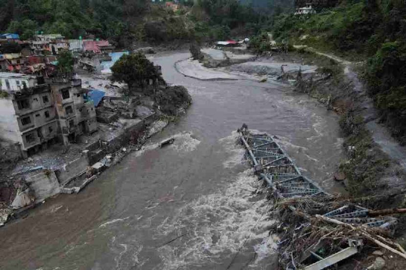
Overflowing in Nepal, the river was filmed from space
Source: OREANDA-NEWS
OREANDA-NEWS "Roscosmos showed a satellite image of the overflowing Trisuli River in Nepal. Photos from space were published in the Telegram channel of the state corporation.
The publication shows two images. "The Roscosmos satellite photographed the Trisuli River from an altitude of about 500 kilometers more than a month before the flood and two days after," the post said.
Roscosmos noted that the footage was taken by a satellite."Resource-P".
At the end of August, scientists found out that the cause of the catastrophic flooding in Nepal was not only the collapse of a glacier, but also a part of the indigenous mountain slope on Langtang-Lirung Peak. The researchers studied satellite images before and after the disaster. Images taken the next day showed damage to the mountainside itself under the glacier. As a result, millions of tons of rocks and ice blocks collapsed into a narrow valley and rushed on.
Earlier on September 2, Nepalese Prime Minister Balendra Shah said that the natural disaster is related to global climate change.
The publication shows two images. "The Roscosmos satellite photographed the Trisuli River from an altitude of about 500 kilometers more than a month before the flood and two days after," the post said.
Roscosmos noted that the footage was taken by a satellite."Resource-P".
At the end of August, scientists found out that the cause of the catastrophic flooding in Nepal was not only the collapse of a glacier, but also a part of the indigenous mountain slope on Langtang-Lirung Peak. The researchers studied satellite images before and after the disaster. Images taken the next day showed damage to the mountainside itself under the glacier. As a result, millions of tons of rocks and ice blocks collapsed into a narrow valley and rushed on.
Earlier on September 2, Nepalese Prime Minister Balendra Shah said that the natural disaster is related to global climate change.




Комментарии